Polario Features
Map
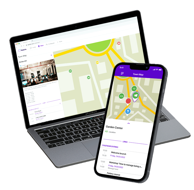
Polario’s map feature provides you with an optimal overview of your location, coupled with digital hints and information.
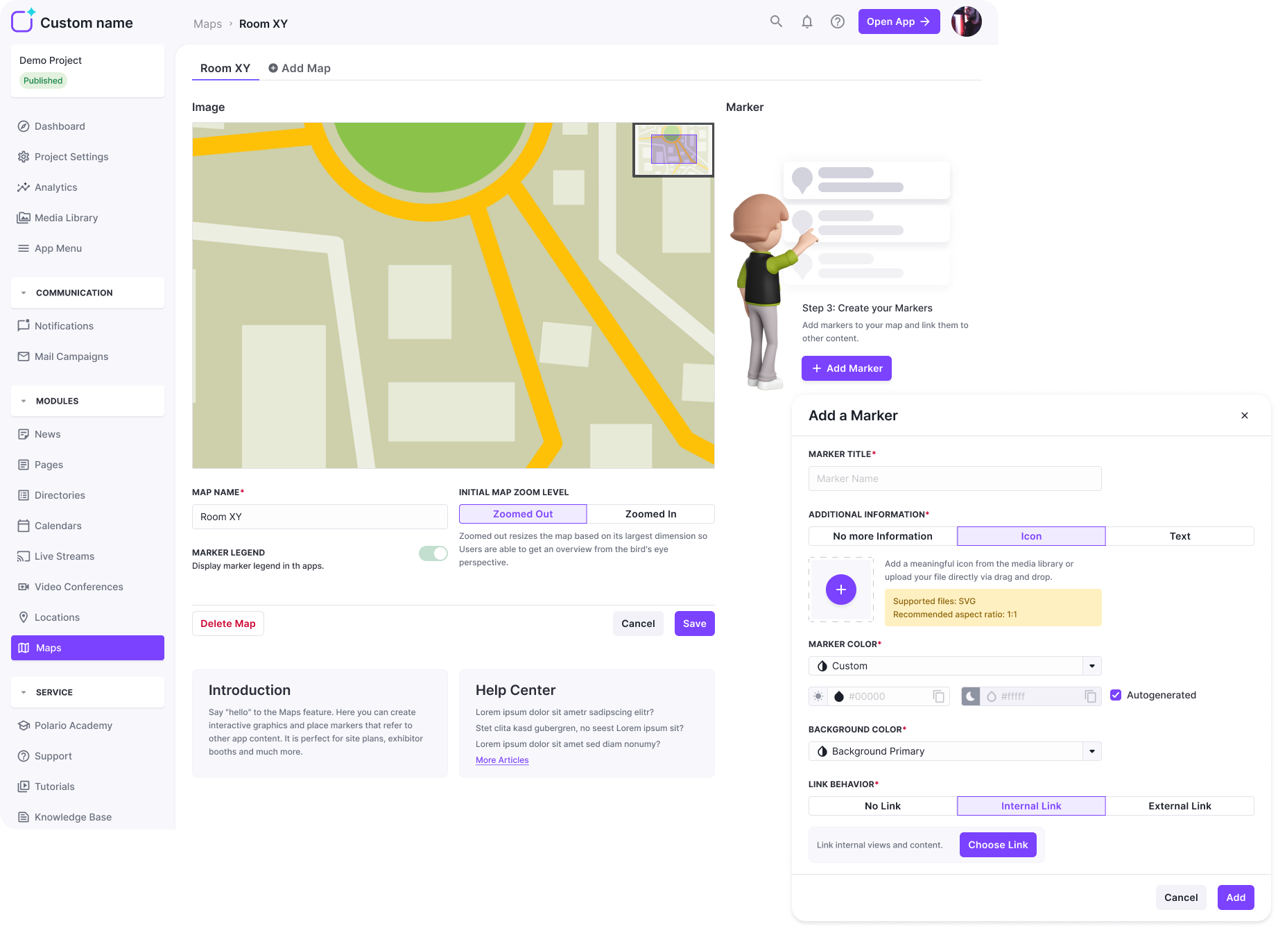
You can create your map quickly and easilyusing the content management system(CMS). For example, simply upload an image of your venue and place markers to highlight the most important locations. You can also place relevant information for your users behind each marker.
You can customize the markers to your liking. Use icons or textto show your app users at first glance where they can find something to eat or drink at your event, for example. The markers can also be easily customized to match your corporate identity. You can also link to internal or external content on the markers if you wish.
In addition to classic 2D plans, you can also add visually elaborate graphics to the map feature. For example, you can also use it to present a virtual showfloor in your app for exhibitions.
Map Feature
Application Examples
Overview of event stations at e.g. live events
Company site map in a company app
Virtual showfloors for trade fairs & exhibitions
More Features
You might also be interested in
Tags allow you to easily organize and sort content for you and the users:inside your platform.
The map provides everyone with an optimal overview, coupled with digital hints and info on appealingly highlighted elements.
With Polario's multi-channel communication features, ensure that information is communicated consistently across all fronts.
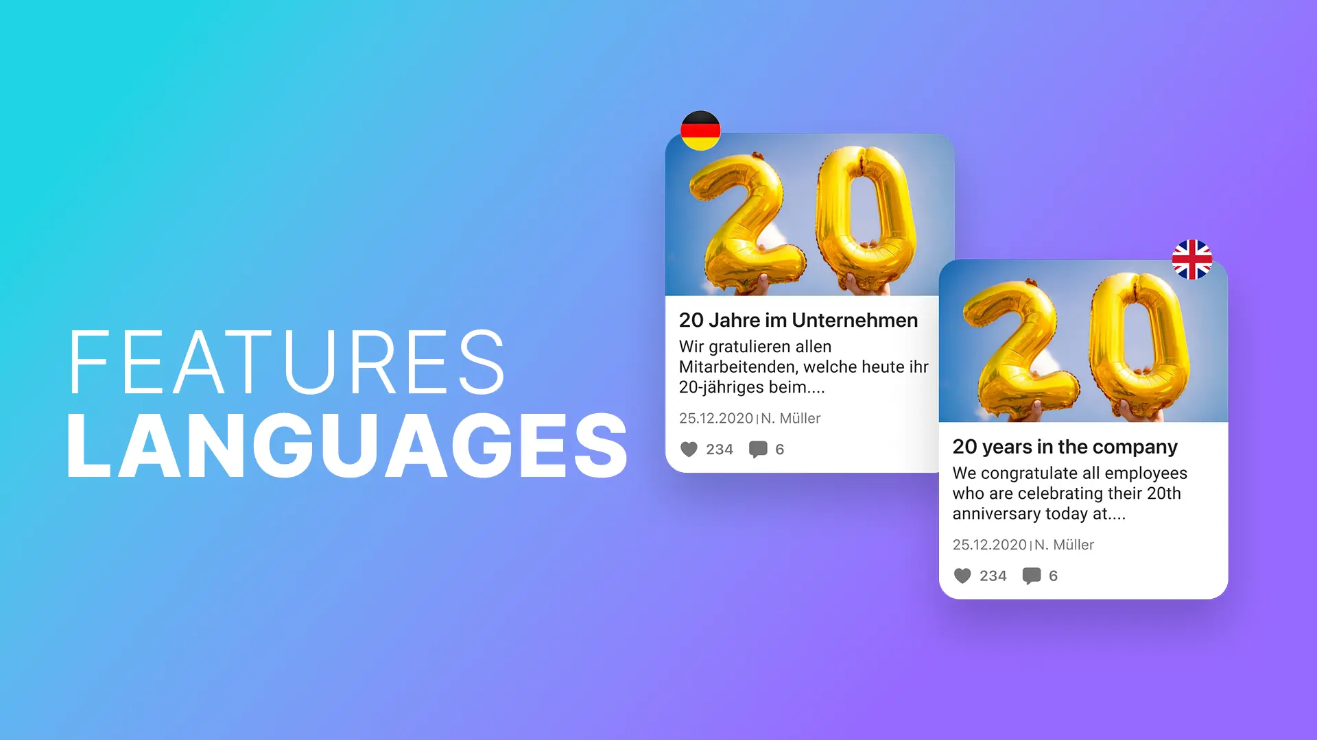
Discover the languages feature: automatic translations, individual adaptations and flexible language selection - simple and efficient.
Use the notifications feature to share various content with your target group quickly and regardless of location (with...Learn more ->
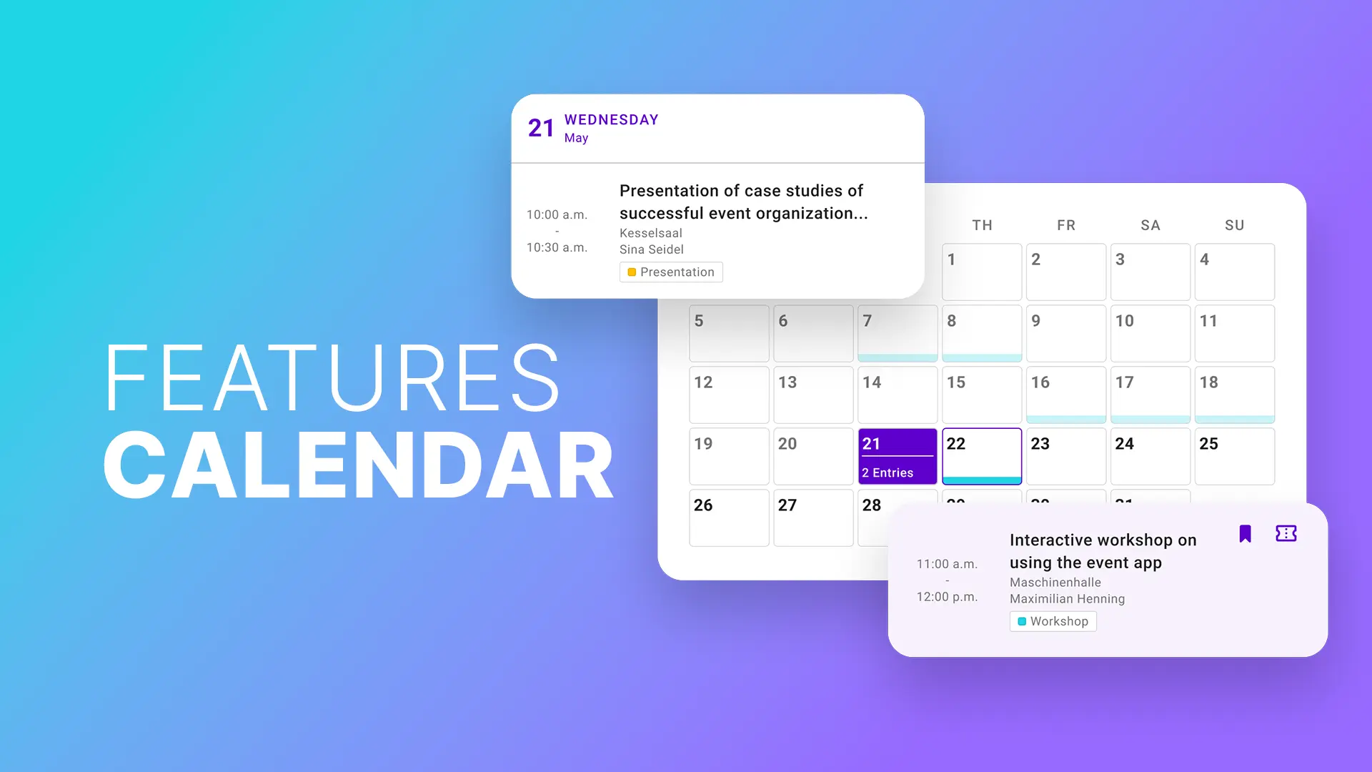
Show your event agenda, meetings of an employee app and other appointments in the calendar feature to always...Learn more ->
Efficient people import! With the Import feature you save time and improve the data quality of the profiles...Learn more ->
With the Live stream feature to event highlights: Virtual/hybrid events with live chat, easy integration and unforgettable experience!
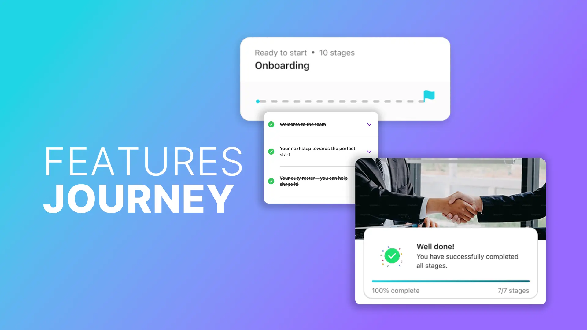
Journeys enable time-controlled content, checklists and automated processes for onboarding, events and training in a centralised app.
The Channels feature enables easy collaboration and quick sharing within the team.
Follow us on social media to stay informed.
Do you have any questions or suggestions? Contact us!
